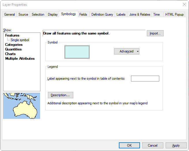
In your ArcGIS Online lab, you Used the JOIN command to associate information from an external data file with the polygon features This join was based on the county FIPS code Symbolized the US counties where colors represent ranges of values Used the DISSOLVE command to create a new layer […]
Daily Archives: August 24, 2017
1 post
