Open source GIS software (alternatives to ArcGIS)
- GIS LOUNGE’s list of open source gis (https://www.gislounge.com/open-source-gis-applications/)
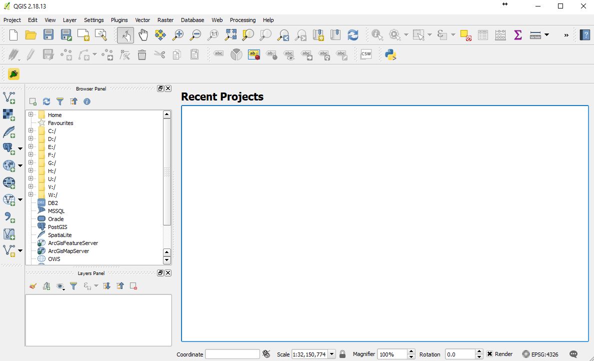
- Quantum GIS (https://qgis.org/en/site/)
- Use the OSGeo4W installer to install on Windows (https://trac.osgeo.org/osgeo4w/)

- Use the OSGeo4W installer to install on Windows (https://trac.osgeo.org/osgeo4w/)
- Others of note:
GIS tasks you should now be very comfortable with completing
- Creating new vector data: digitizing, mapping points from a list of coordinates
- Editing vector data
- Finding, downloading, and using already-made data
- Coordinate system management
- Making queries against the FIA and Census databases and appropriately incorporating them into your GIS
- Analyzing vector data through overlays
- Integration of GPS into the GIS
GIS tasks you should be familiar with; you have a foundation on which to build
- Raster analysis/Spatial Analyst toolset