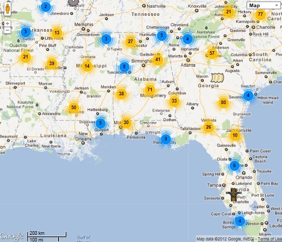
Forest Products Network (http://www.forestproductslocator.org/welcome) … The Primary Forest Products Locator website is provided by the Southern Group of State Foresters to assist buyers with locating primary wood product manufacturing companies. These companies produce “renewable” products by converting recently harvested trees from managed forests to lumber, wood panels, paper, and many […]
Daily Archives: September 19, 2016
3 posts
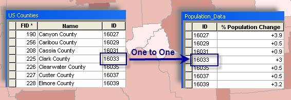
Join external tabular data to existing spatial data When joining an external table to a spatial layer in ArcGIS, you must… have a common field in the external table with values that match values in a field in the spatial layer have either a one-to-one relationship or a many-to-one relationship […]

Data Types: Tabular Data Common types used in GIS xls, xlsx, txt, csv, dbf First 4 types can be viewed in Excel using File>Open To view a dBase file (.dbf), you must open an Excel worksheet and then drag the file from Windows Explorer and drop it into the blank […]