Lets look at some data in ArcMap. Concepts you should consider throughout this document are:
- What are inherent geometries and how do we use them
- How do inherent geometries assist us in determining how we map our site
- What are the different ways we can represent features we see on an aerial photograph
- How we store information about each of these features we map
- What are the two vector file types we use in ArcMap
- What do these GIS files look like in File Explorer
You will be working with a forest land cover data set I created for the Oconee National Forest in Greene county, GA.
PROJECT SETUP
You MUST set up your working directory before you start work on this or any other ArcGIS project. Create a folder on the e:\ drive called ocnatforest. This, e:\ocnatforest, is your “working directory”. Every data layer you use or create will be saved in this folder. When you are finished working on this project, copy the entire ocnatforest folder up to your network drive. If you have to work on this project again, copy the entire folder from your network drive down to the e:\ drive.
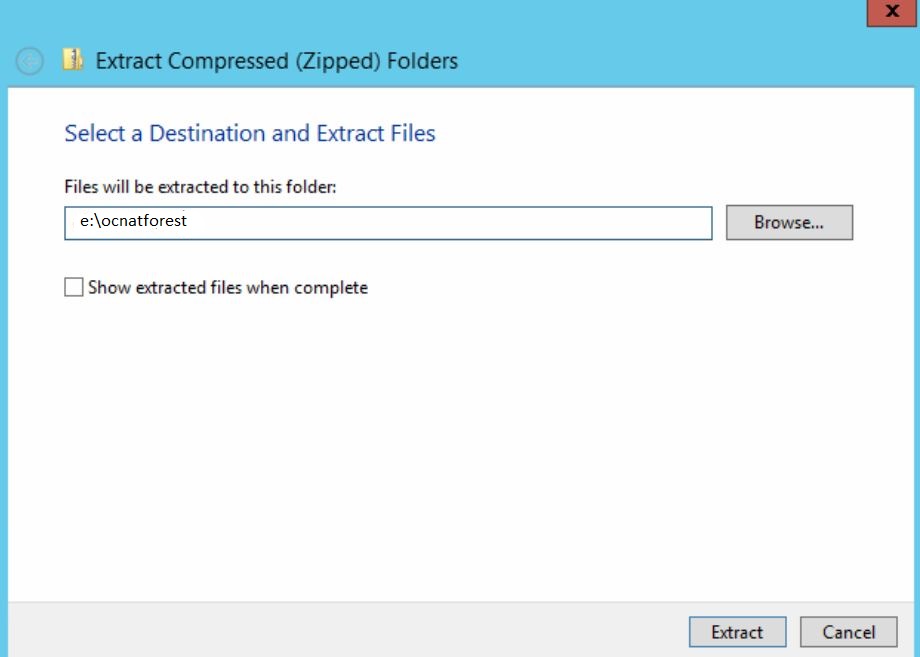
Save the Oconee National Forest data packet, OcNF_Data.gdb.zip (CLICK HERE), to your working directory. Be careful, your browser will try to automatically open the file you download. Don’t let it. Don’t let Windows ever decide where files are saved. If a File Explorer window opens automatically, close it. Unzip the file, RIGHT-CLICK > EXTRACT, into your working directory (see below).
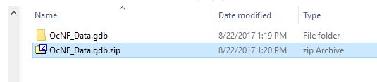
Your working directory, e:\ocnatforest, should look like the screenshot below. Again, be certain you save everything in this folder.
ARCGIS PROJECT
Start ArcMAP, and then load the layers in the e:\ocnatforest\OcNF_Data.gdb.
Save your project (File > Save As) into your working directory.
Vector Data Model (Points, Lines, Polygons)
inherent measurement: a built-in geographic measurement that can be obtained based solely on its shape.
Vector: a point, line, or polygon
Points: A single XY coordinate pair
- Inherent measurement: X and Y coordinate
Lines: Represented by a series of XY coordinate pairs
- XY coordinates of the beginning and end of the line
- Length of the line
Polygons: A series of interconnected lines that enclose an area
- XY coordinate of the centroid
- Area of the polygon
- Perimeter of the polygon
Vector Definitions:
Feature: an object represented in a GIS (a road, house, gate, forest, etc)
Node: the beginning and end of a line
Vertex: one set of XY coordinate pairs that define the shape of a line or polygon
vector properties:
- Features may overlap
- Well-suited for overlay and routing analyses
- Well-suited for image overlays and map output
- Poor representation of continuous surfaces
vector attributes:

Attribute: information about and associated with any individual feature
Attributes are organized so there is one record (row) for each feature in the dataset
Fields (columns) store similar bits of information for each record (cover type, establishment date, acreage, color, etc)
Vector data allows for the storage of multiple attributes for each feature
vector file formats
Shapefile: standard vector file format
- Multi-file format: One shapefile consists of 3 or more physical files on the computer
- <filename>.shp, <filename>.dbf, <filename>.shx, <filename>.prj, possibly more
- When copying to a new location or when emailing to a client, you must include all of these files
- One shapefile may store EITHER point features, line features, or polygon features. If you need to map points, lines and polygons, you MUST have a point shapefile, line shapefile, and polygon shapefile.
File Geodatabase: a central data repository for both vector and raster data
- Folder-based storage format
- In Windows Explorer, this folder will show a .gdb extension
- Just zip the entire folder if you need to transfer the dataset
Others:
- ArcInfo Coverage: old ArcInfo file format
- KML/KMZ: Google Earth file formats
- DXF/DWG: CAD file formats
- GPS
- Many others…