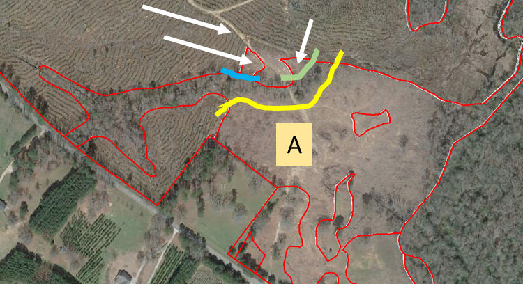
The southeastern portion requires some updating…
- Start editing the cover type layer
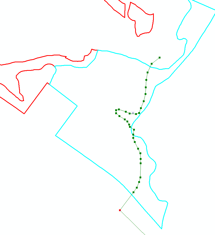
- Select polygon A and grab the cut tool
- Cut along the yellow line, then the blue line, then the green line
- Clear the selection, then select only the 3 polygons marked with an arrow above
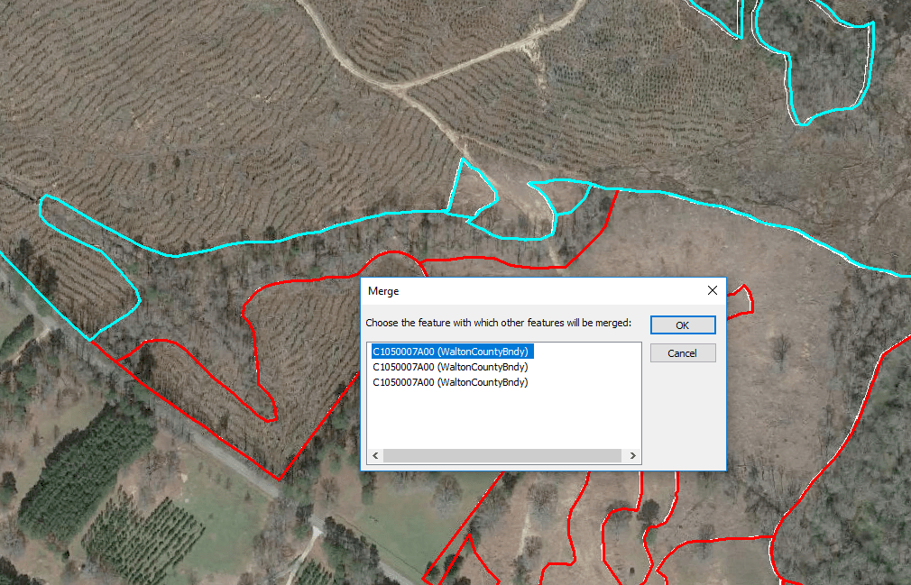
- Merge the 3 selected polygons (Editor menu > Merge)
These polygons are a mixture of regeneration and bottomland hardwoods. The best approach is to merge these polygons and then cut the bottomland hardwoods from that merged feature.
After cutting the merged polygon, open the attribute
table and update each feature’s type attribute.
Once you have updated your cover type layer you must recalculate acreage. In fact, any time you change the shape of a feature, you must recalculate acreage.
Lab 5 deliverable (10 points total): Use the georeferencing tools to rubber-sheet the 03/2017 image from Google Earth to the 2015 clipped Walton county NAIP. Insert at least 5 well-distributed ground control points to complete the georeferencing process. Recall that your target RMSE is < 1 but < 0.5 is best (use the View Link Table button located on the Georeferencing toolbar to view your current RMSE). Once you have achieved an acceptable-to-you RMSE, take a screenshot of your link table. You will receive +3 points for an RMSE < 1, +2 points for an RMSE < 2, and +0 points for an RMSE > 2. After taking your screenshot, update the image’s georeferencing (Georeferencing toolbar > Update Georeferencing) and then save your project.
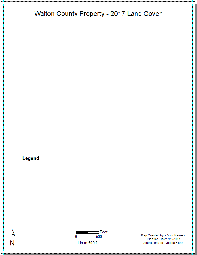
Generate a layout like the one I’ve pasted below and show only the updated land cover and the georeferenced 03/2017 Google Earth image (+7). Note, your map should fill this entire area (right-click on cover type layer > zoom to layer)
Insert your link table screen shot and map layout into a Word document and upload it to the lab 5 eLC Dropbox before next Thursday @ midnight.