Now that we’ve finished defining our habitat suitability criteria, I want you to implement it in the GIS. We are looking for the areas that are suitable for all four species. I want you to generate a map showing your findings. Submit it to the lab 7 assignment folder by Sunday at midnight.
Haven’t released the lab 7 data, yet…
Specie-specific habitat suitability criteria
- Wild Turkey Habitat: in forested areas older than 20 years (and) within 50m of a stream
- Timber Rattlesnake: in (forested areas less than 20 years), they also like grassland/herbaceous, they like barren land and they like shrub/scrub. All of these areas must be outside a 1 mile buffer of all developed areas
- Striped Skunk: within 1000 meters of a river (or) within 1000m of open water (or) within 1000m of (cultivated crops larger than 20 acres or pasture/hay larger than 20 acres)
- Black Bear: within 10 miles of shrub/scrub (or) within 10 miles of cultivated crops
Wild Turkey:
CLEAR ALL SELECTED FEATURES IN ALL LAYERS
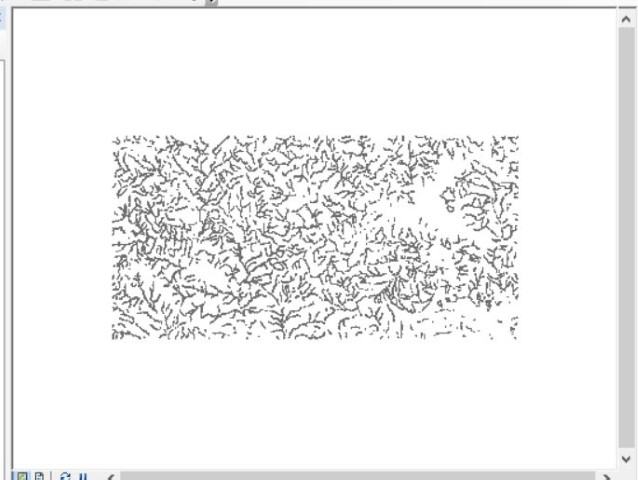
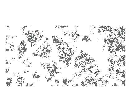
(Deciduous, Evergreen, Mixed that are older than 20 years) that are within 50m of a stream
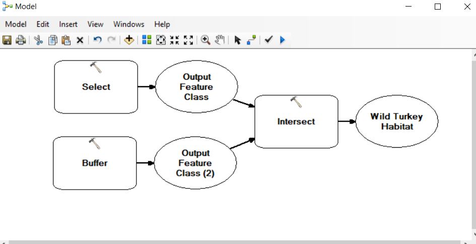
The result…
Timber Rattlesnake:
CLEAR ALL SELECTED FEATURES IN ALL LAYERS

The result…
Striped Skunk:
CLEAR ALL SELECTED FEATURES IN ALL LAYERS

The result…
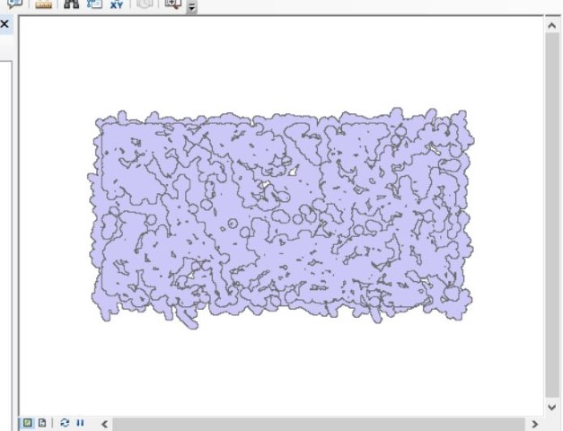
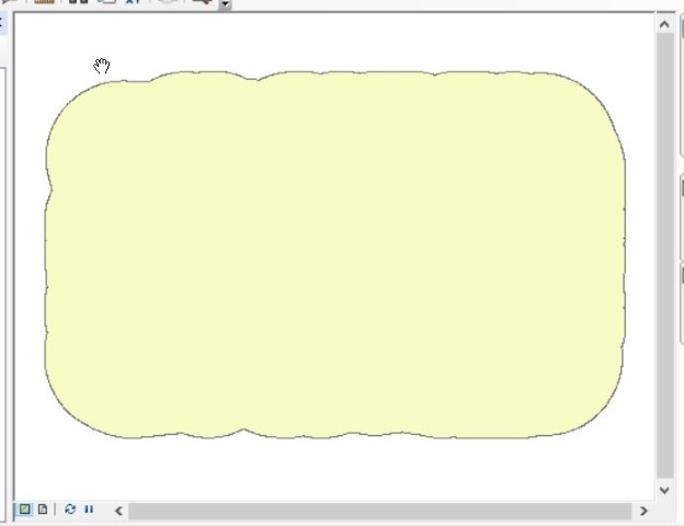
Black Bear:
CLEAR ALL SELECTED FEATURES IN ALL LAYERS
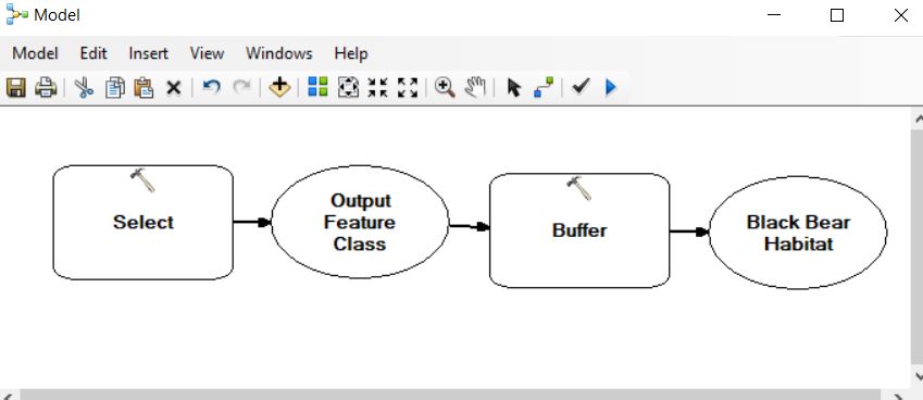
The result…
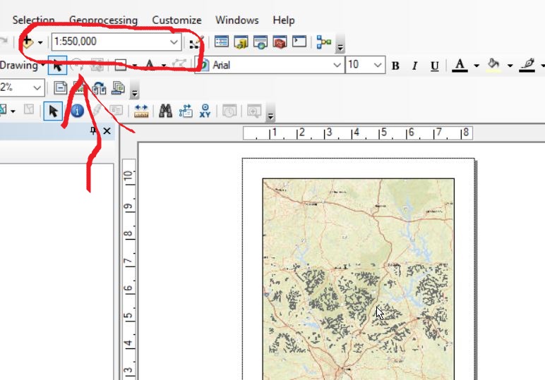
You’ve found the suitable habitats for the four species. Now, find the common areas – what sites satisfy all four species? Generate a map layout showing the areas common to Wild Turkey, Skunk, and Bear layers. Overlay your result on “Streets” basemap. Ensure your map layout is shown at a scale of 1:550000 (see screen shot below). Symbolize your common layer so the user can see the results at this scale.
FlipGrid exercise: Tell us one concept we’ve talked about that you could explain to a classmate and two things you do not understand. (https://flipgrid.com/b54929)