UGA Botanical Garden UAV
We’re going to change gears a bit and look at a data set I collected at the UGA Botanical garden on March 19, 2016.
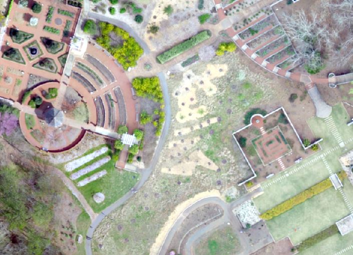
UGA Botanical Garden UAV Data
SAGA GIS 4.0.1 Download
(SAGA GIS Create bare ground model from LIDAR)
Following the workflow described here
lassort -i bot.laz -rescale 0.01 0.01 0.01 -o bot2.laz

lasground -i bot2.laz -step 1 -ultra_fine -not_airborne -odix _lg

lasground -i bot2.laz -step 3 -ultra_fine -not_airborne -odix _lg3

lasground -i bot2.laz -step 9 -ultra_fine -not_airborne -odix _lg9

las2dem -i bot2_lg9.las -keep_class 2 -step 0.2 -thin_with_grid 0.1 -extra_pass -odix _dtm -otif

las2dem -i bot2_lg9.las -step 0.2 -thin_with_grid 0.1 -extra_pass -odix _dsm -otif