
Things you need to know about coordinate systems and ArcGIS: In ArcMap, the coordinate system consists of a projection, a datum, and a unit of measure. To make things easy for the user, ArcMap has many of them already defined in the software. a. Latitude/Longitude is considered an unprojected or […]
Daily Archives: August 24, 2016
2 posts
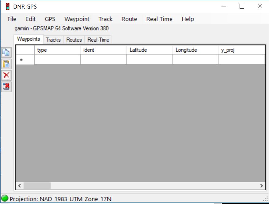
DNRGPS Application The DNRGPS application was built to transfer data between Garmin handheld GPS receivers and the computer. It can be downloaded from the Minnesota DNR ArcView Resources web page (http://www.dnr.state.mn.us/mis/gis/DNRGPS/DNRGPS.html). For our purposes, the DNRGPS for ArcMap 10.2 will do. This is a ‘green’ application so all you need […]