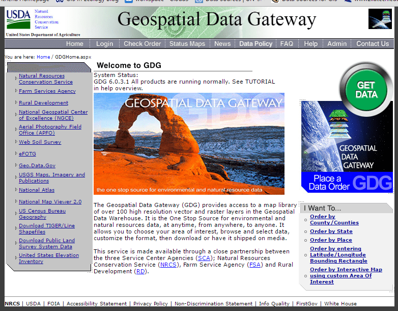
NRCS Geospatial Data Gateway (https://gdg.sc.egov.usda.gov/GDGHome.aspx) "The Geospatial Data Gateway (GDG) provides access to a map library of over 100 high resolution vector and raster layers in the Geospatial Data Warehouse. It is the One Stop Source for environmental and natural resources data, at anytime, from anywhere, to anyone. It allows […]
How-To
3 posts
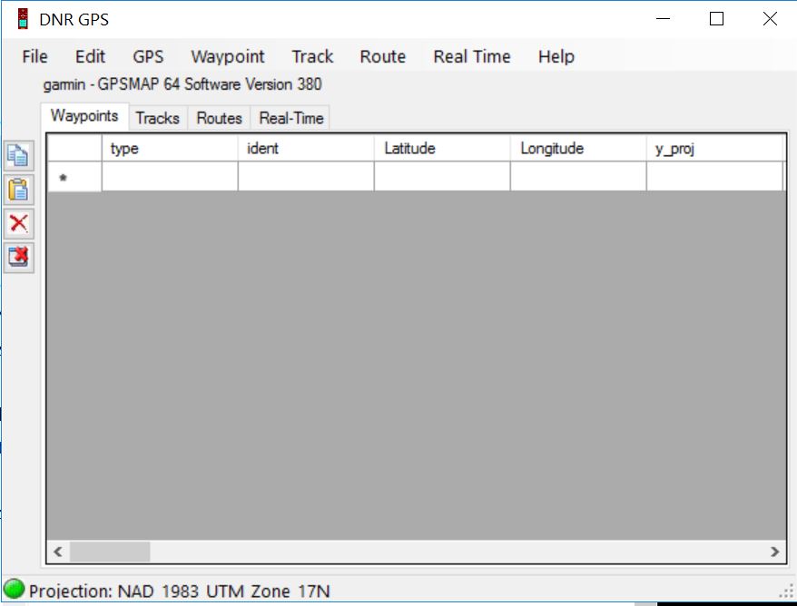
DNRGPS Application The DNRGPS application was built to transfer data between Garmin handheld GPS receivers and the computer. It can be downloaded from the Minnesota DNR ArcView Resources web page (http://www.dnr.state.mn.us/mis/gis/DNRGPS/DNRGPS.html). For our purposes, the DNRGPS for ArcMap 10.2 will do. This is a ‘green’ application so all you need […]

YouTube listing for Garmin GPSMAP 64 Garmin GPSMAP 64 GPS: Receiver Setup: Turn the receiver on. Press and hold the button for 2-3 seconds. The On/Off button is located on the upper right-hand side of the receiver. Buttons of importance today: ENTER – To select an option from a […]