
For the second part of your How-To notebook, you will design, execute, assess, revise and repeat a spatial analysis component of your research project. Specifically, I want you to: Identify one spatial analysis component of your research project; those of you working on a non-thesis degree, find a project […]
Fall2020
3 posts
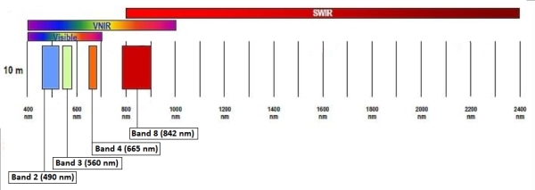
Data: October 13, 2020 Sentinel-2 image (eLC Link) December 18, 2019 Sentinel-2 image (eLC Link) Toolbox (extract the Toolbox.tbx and copy it to your working directory) (eLC Link) Sentinel-2 Satellite Imagery: Instructions for download from USGS Earth Explorer (eLC Link) Data delivered as single-band rasters Sentinel-2 band information 10 meter […]
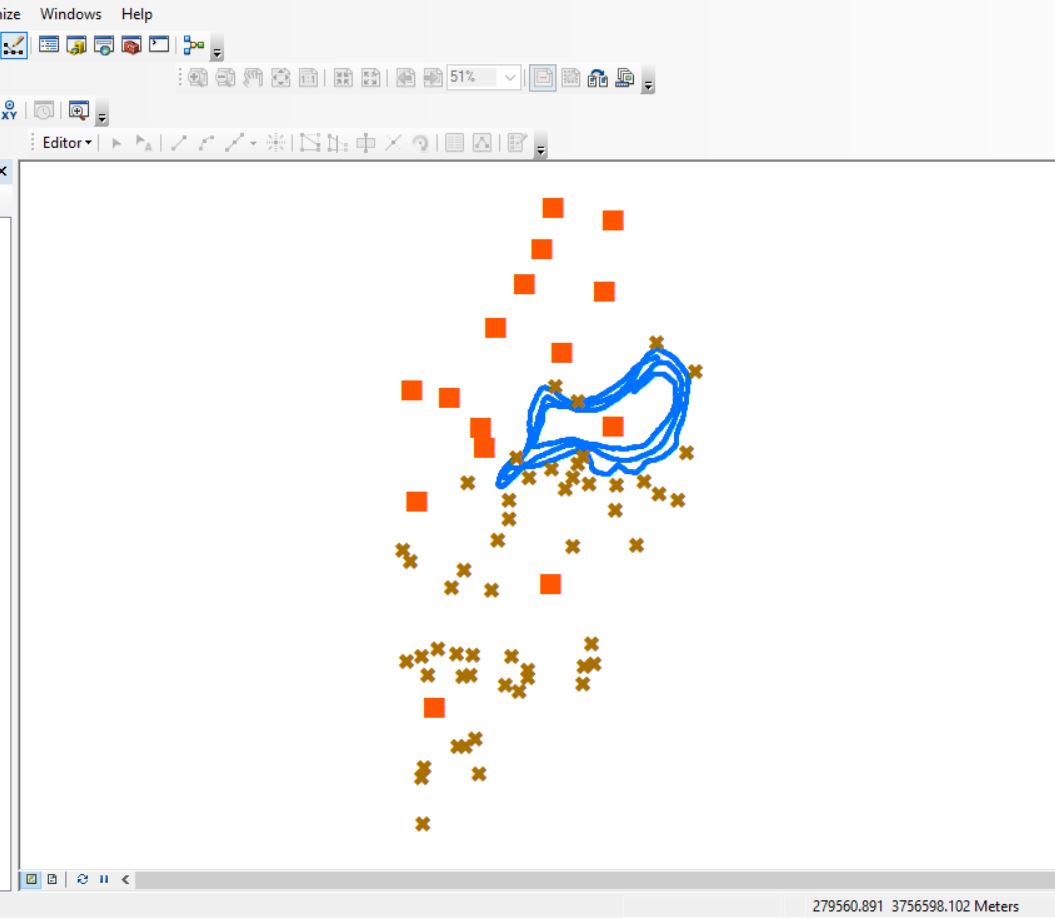
OCONEE FOREST PARK (Lake Herrick): DATA DOWNLOAD LINK Here is the scenario: You have been asked to compile preliminary data for the Oconee Forest Park for an upcoming project. In the download above, you are provided three datasets: Lake_Herrick_Depths.csv: Lake depths captured with a Lowrance fish finder. XY coordinates […]