
Georgia Conservation Tax Credit Program (GA DNR) Georgia Land Conservation Program (https://glcp.georgia.gov/) Conservation Easements (https://glcp.georgia.gov/conservation-easements) Georgia Conservation Tax Credit (https://glcp.georgia.gov/georgia-conservation-tax-credit) Conservation Easements A conservation easement, a voluntary legal agreement between a landowner and an easement holder, allows the landowner to impose permanent restrictions on the way the property is used. […]
Daily Archives: October 30, 2017
3 posts
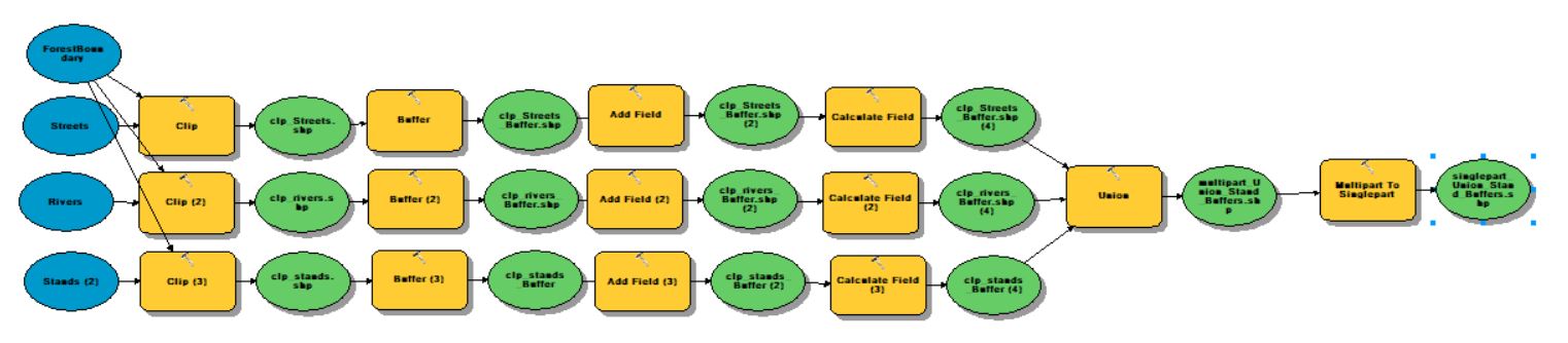
ArcGIS ModelBuilder (Geoprocessing >> ModelBuilder) ESRI states that the ‘ModelBuilder is an application you use to create, edit, and manage models. Models are workflows that string together sequences of geoprocessing tools, feeding the output of one tool into another tool as input. ModelBuilder can also be thought of as a […]
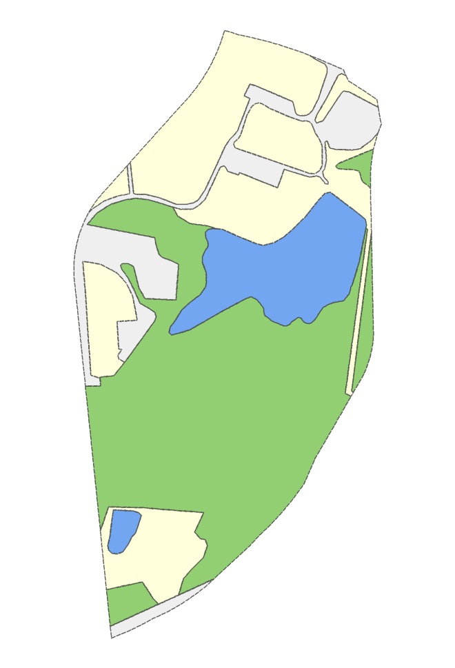
Sample Data Here Overlay Analysis We have already reviewed one overlay (selection) analysis tool – Select By Location. Recall, with this method, you select whole records in one layer that are spatially related in some manner (intersects, within a distance…, center is within…, etc) to another layer (Select By Location). This […]