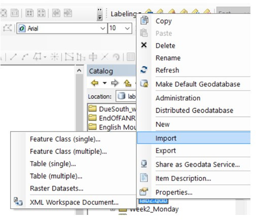
Background information (tables, file geodatabases, and shapefiles) In this lab, you will: create an event theme from a series of XY coordinate pairs stored in a data file, convert between shapefile and file geodatabase file formats, you will download a kml from qpublic, import it into arcmap, and then you will […]
Event Theme
1 post
