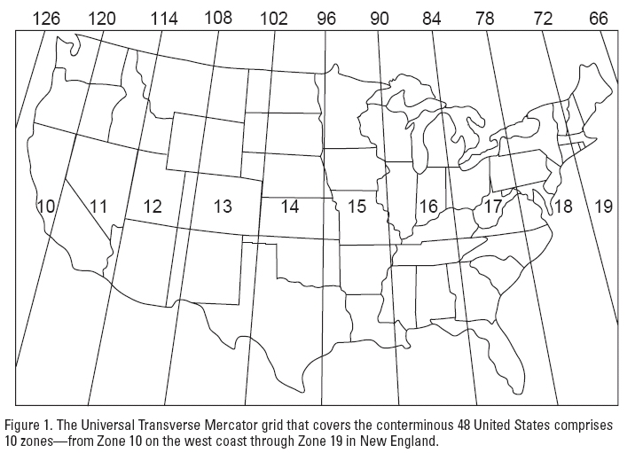
(http://www.gsd.harvard.edu/gis/manual/projections/) Things you should know about coordinate systems and ArcGIS: In ArcMap, the coordinate system consists of a projection, a datum, and a unit of measure. To make things easy for the user, ArcMap has many of them already defined in the software. Latitude/Longitude is considered an unprojected coordinate system […]
Daily Archives: February 2, 2017
1 post
