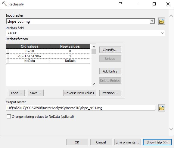
Spatial Analyst Toolset Must load the Spatial Analyst extension to use these tools – Customize >> Extensions >> … ESRI Spatial Analyst Toolset Listing In last week’s lab, you used the following tools: Conditional – Raster If/Then operations Distance – When paired with a reclassification, this is how we buffer using the raster data type […]
Monthly Archives: November 2017
10 posts

(Use UTM Zone 17N for all work) For the site you select, they would like a 50-mile radius report detailing the: acres of evergreen, deciduous, mixed, wetlands (woody and herbaceous), and urban landcover acres of forested land within a ½ mile of a primary or secondary road percentage […]
Four groups Group 1: first 2 rows on the left Group 2: first 2 rows on the right Group 3: remaining rows on the left Group 4: remaining rows on the right The Georgia Forestry Commission has a client who wants to establish a softwood mill somewhere […]
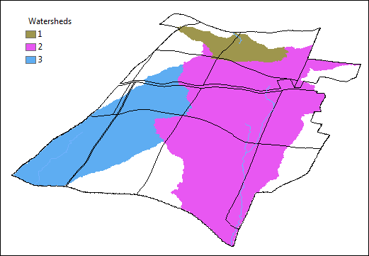
Create working directory folder on your C:\ drive. I submitted a NRCS Geospatial Data Gateway data request for four state-wide layers (HUC-12 watershed, NLCD land cover, Primary and Secondary roads, and the National Hydrography Dataset). Visit the Geospatial Data Gateway and check the order for the user FANR7690@warnellgis.com. Download […]
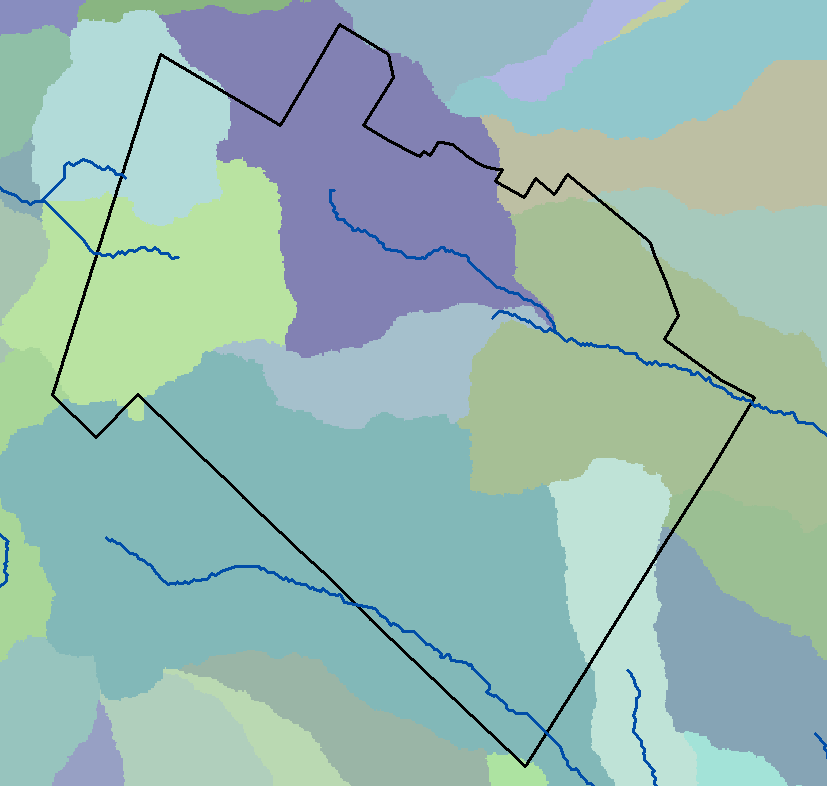
This lab is pulled from the ESRI 2003 Spatial Labs material. Mr. Glen Jordan is the creator of this exercise. Download this lab’s data here. Set up your lab workspace, extract and load all the layers to a new instance of ArcMap. This site is located in the Acadian-New […]
This lab is pulled from the ESRI 2003 Spatial Labs material. Mr. Glen Jordan is the creator of this exercise. Download this lab’s data here. Set up your lab workspace, extract and load all the layers to a new instance of ArcMap. This site is located in the Acadian-New […]
Zipped Data Packet For Today (unzip into a new working directory on your C:\ Drive) Consider the conservation easement map request we looked at Monday… “Special Natural Areas” (SNA): all hardwoods and all areas within the riparian buffer – riparian buffer: 400′ around all features in the rivers layer – 300′ around “Lake/Pond”, “Reservoir”, […]
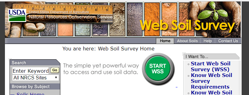
Web Soil Survey (https://websoilsurvey.sc.egov.usda.gov/App/HomePage.htm) Click the green ‘Start WSS’ button Create your area of interest (AOI) Can import a shapefile Can manually zoom in and draw an area using the AOI tool Search by address and other methods listed under the Quick Navigation heading on the left Goto the ‘Download […]
Data Driven Pages: Document how to set up Data Driven Pages, how to set up dynamic text, how to export a map book. Use this file geodatabase here. Topological Overlays: (starting this soon) Describe with words and examples (use this data set) the topological overlays listed below. Make […]
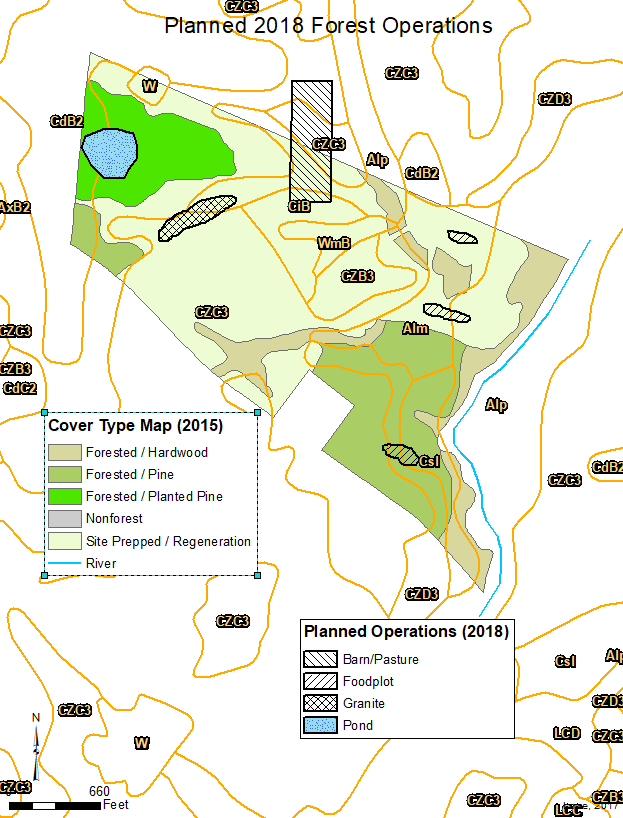
Wednesday Data Link Here Pay attention to 1) how the layer's shapes change and 2) what information is contained in the output's attribute table. We have received notice of the planned 2018 operations on the Walton county property (map below). The consulting forester sent us shapefiles containing […]