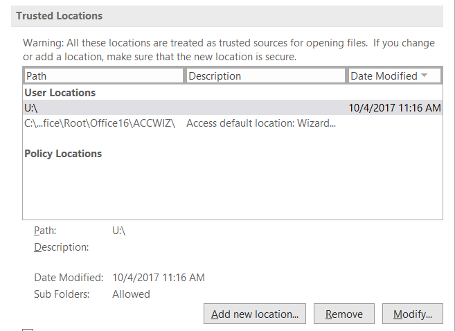
(Updated October 10, 2021 – I was unable to import state tables into the FIADB using the most recent version of MS Access (v 2109 Build 16.0.14430…) on my computer at home. It might be a version issue since the download site reverences MS Access 2007. I am checking into […]
Yearly Archives: 2019
27 posts
.. .. What is FIA? https://www.fia.fs.fed.us/library/fact-sheets/overview/What_is_FIA_FS_2018_update.pdf The Enhanced Forest Inventory and Analysis Program – National Sampling Design and Estimation Procedures. This is the document you should reference when talking about the FIA. (http://www.treesearch.fs.fed.us/pubs/20371) Executive Summary: PDF page 9 1998 Farm Bill required: PDF page 14 Phase 1: PDF page 22 […]

Landowner is applying for a Landowner Assistance grant. The agency requests a 10-year harvest and fertilization schedule and a map of the property showing the areas to be harvested and fertilized and an additional map showing the non-harvested areas that might be affected by these proposed activities. […]
Data are the facts or details from which information is derived Throughout this course, know that we are combining data on the basis of location and individual attributes to form actionable information… Anatomy of a mapping project You receive a request from a client who is planning for upcoming harvests. They need the following: Total […]
“If we have data, let’s look at data. If all we have are opinions, let’s go with mine.” – Jim Barksdale, former Netscape CEO Data are the facts or details from which information is derived Throughout this course, know that we are combining data on the basis of location and individual attributes to […]

. Course Lab Topics: Lab 1: OBIA – use a segmentation approach to classify an image in ArcGIS Lab 3: Vegetation indices – compute VIs in ArcGIS Lab 5: GlobalMapper – generate DSM & DTM Lab 6: GlobalMapper – create 3D profile Lab 8: Calculate volume based on the […]
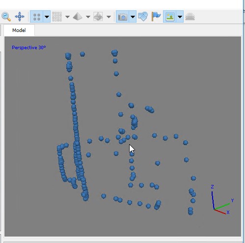
. Processing a terrestrial laser scan of a single tree… (TLS data) #####New libraries to install: concaveman, shapefiles library("lidR") library("rgdal") library("concaveman") library("shapefiles") #####Load Files mypath<- "U:/FANR5640/Spring2019/labs/lab09Data" myfile<- "SingleTree.laz" infile<- file.path(mypath,myfile) lastmp = readLAS(infile, select = "xyzirc")##, Intensity = F, ReturnNumber = F, NumberOfReturn = F, ScanAngle = F, EdgeOfFlightline […]
. Processing a terrestrial laser scan of a single tree… (TLS data) #####might need to install the concaveman library library("lidR") library("rgdal") library("concaveman") #####Load Files mypath<- "U:/FANR5640/Spring2019/labs/lab09Data" myfile<- "SingleTree.laz" infile<- file.path(mypath,myfile) lastmp = readLAS(infile, select = "xyzirc")##, Intensity = F, ReturnNumber = F, NumberOfReturn = F, ScanAngle = F, EdgeOfFlightline […]
#####https://www.rdocumentation.org/packages/lidR/versions/2.0.1 library(“lidR”) library(“rgdal”) library(“EBImage”) #####Load Files mypath<- “/media/biomata/SSD1/Dickens_07Dec18/out” myfile<- “Dickens_07Dec18_llp.las” infile<- file.path(mypath,myfile) lastmp = readLAS(infile, select = “xyzirc”)##, Intensity = F, ReturnNumber = F, NumberOfReturn = F, ScanAngle = F, EdgeOfFlightline = F, ScanDirectionFlag = F, UserData = F, PointSourceId = F, color = T) summary(lastmp) lasd<- lasfilterdecimate(lastmp,random(100)) plot(lasd) […]
Lab 11 RedEdge – Follow-up We’ve just flown a RedEdge mission out at Lake Herrick resulting in 275, 5-band multispectral images. Many of the images were acquired using a vertical flight pattern (5m AGL, 6m AGL, …, 200m AGL). The raw imagery has been converted to percent reflectance (DN […]