
This R script allows the user to process multiple LAS/LAZ files at once using the catalog functionality of the lidR library. If you look closely, this and the R code from Monday are almost identical. Line 12, here, we create a LAS catalog instead of reading in an individual LAS […]
FALL2019
7 posts
Landowner is applying for a Landowner Assistance grant. The agency requests a 10-year harvest and fertilization schedule and a map of the property showing the areas to be harvested and fertilized and an additional map showing the non-harvested areas that might be affected by these proposed activities. […]
Data are the facts or details from which information is derived Throughout this course, know that we are combining data on the basis of location and individual attributes to form actionable information… Anatomy of a mapping project You receive a request from a client who is planning for upcoming harvests. They need the following: Total […]
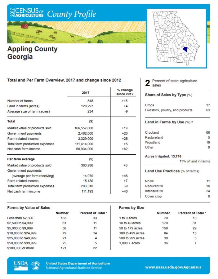
“If we have data, let’s look at data. If all we have are opinions, let’s go with mine.” – Jim Barksdale, former Netscape CEO Data are the facts or details from which information is derived Throughout this course, know that we are combining data on the basis of location and individual attributes to […]
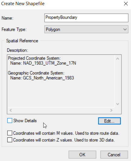
Create new shapefile (from ArcMap) Windows pull-down > Catalog In the Catalog navigate to your working directory right-click on your working directory > New > Shapefile Name it You are creating a polygon Set the Spatial Reference (coordinate system) Edit > Projected > UTM > NAD 1983 > NAD_1983_UTM_Zone_17N You […]
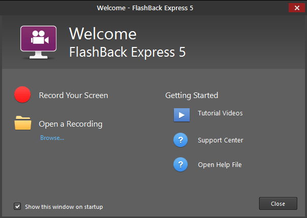
(NOTE: IceCream Apps screen recorder is another screen recorder that is pretty easy to use) I have installed FlashBack Express (FBE) on the GIS lab machines. If you do not already have a favorite screen recording software, I suggest using it. Operation is simple: Stage your ArcMap project or […]
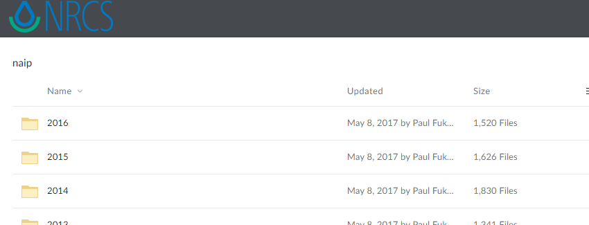
Download NAIP orthophotos NRCS Geospatial Data Gateway (https://datagateway.nrcs.usda.gov/) Follow the “Direct NAIP Download” link (right-hand side of the page under the ‘I Want To’ heading) Follow the “National Ag. Imagery Program County Mosaic” link to expose the NRCS NAIP repository (top link on the page) The NAIP imagery is now […]